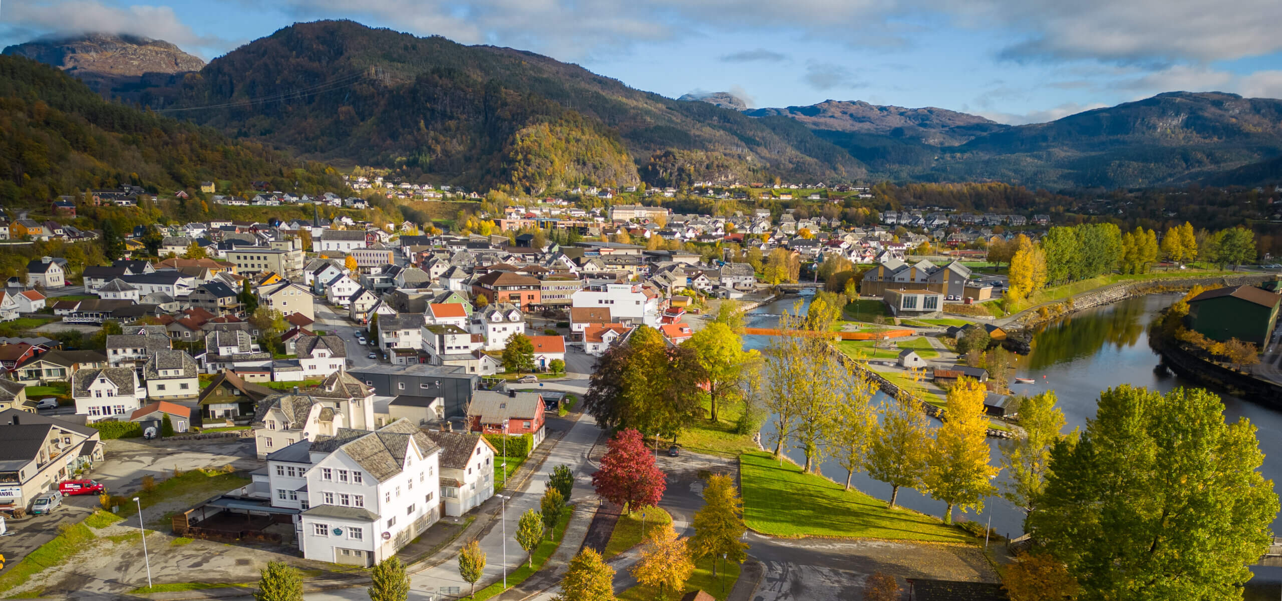
Fløgstadåsen is a hill overlooking Sauda with paths connecting Sauda and Saudasjøen.
You can start your walk to Fløgstadåsen from Sauda town centre, heading north. Follow the road untill you arrive in an area called Kleppeker. At Kleppeker there’s a marked trail up to Fløgstadåsen. The path will take you through varied terrain just north of the town centre and you will always have a view of the gentle fjord below.
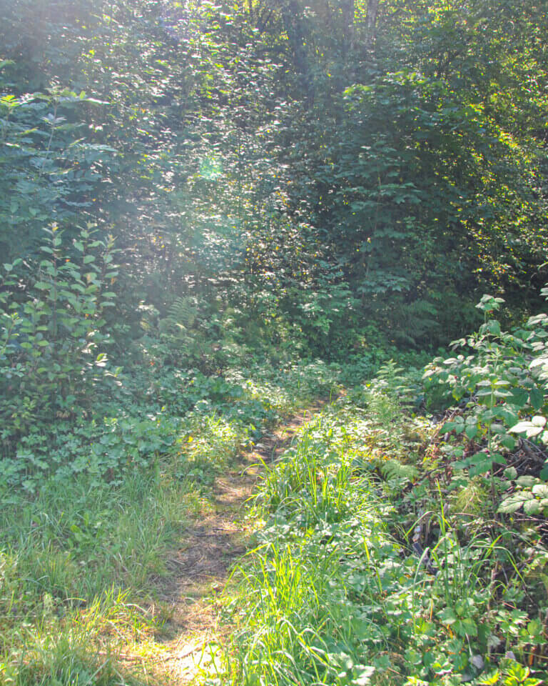
Along the path there are many place names and placards describing the area’s agricultural history. Along the path there’s the option to take a detour to Stemmen (a wee hill) and Rødstjødna lake in Saudasjøen.
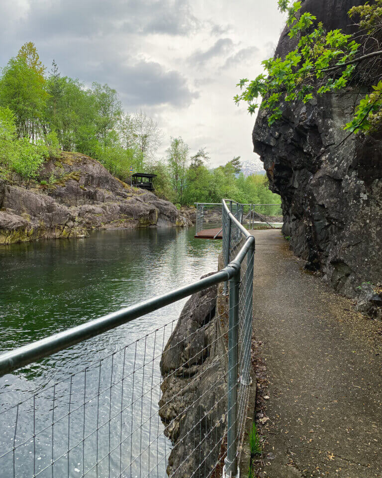
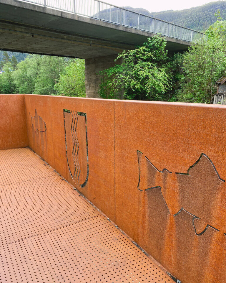
Lona - a path along one of sauda's impressive rivers
Walk south from downtown Sauda via Tangen, where the two major rivers in Sauda meet, follow the gravel path along Storelva towards Andedammen family park. In Andedammen family park you’ll find a petting zoo, minigolf, picnic areas and idyllic playparks.
Follow the path along Storelva towards Kastfoss river and Lona. Follow the same path you came along to return back to town.
Please note that Lona is surrounded by pastures and there will be grazing animals so be respectful of their space by keepping your dogs on a lead and do not approach the animals here.
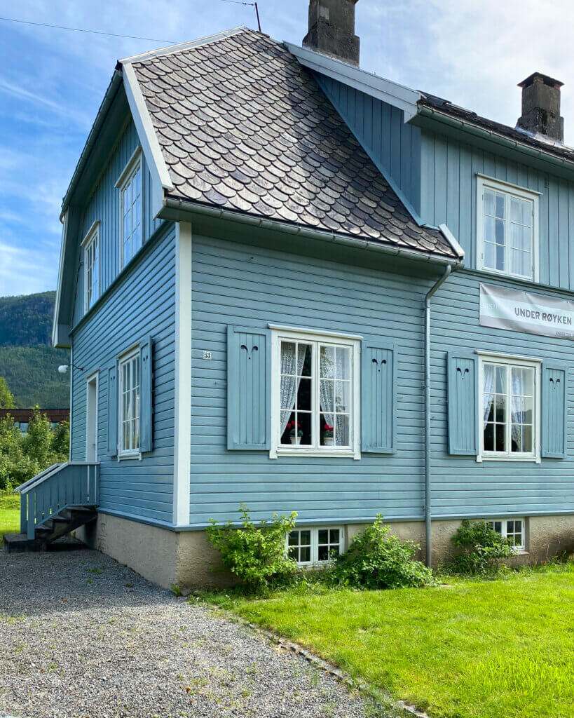
Åbøbyen - the historic quarter of Sauda
Head south towards Tangen towards Andedammen family park. At the first pond you’ll find information about Åbøbyen. Åbøbyen is a piece of living history – an example of early urban planning as a result of the industrial revolution in Sauda. Families still live in the beautiful houses, many of them descendants of the first workers who stayed here.
Rundehaugen (1574 ft above sea level)
Rundehaugen translates to ’round hill’.
Head south via Tangen and Andedammen Family Park. Before a quaint forest park area called Lillebekk you’ll find a biking path up to the Brekke suburbs, walk a short distance on the road before you start your uphill ascent on a tractor road/path up towards Rundehaugen. It’s a steep, long ascent.
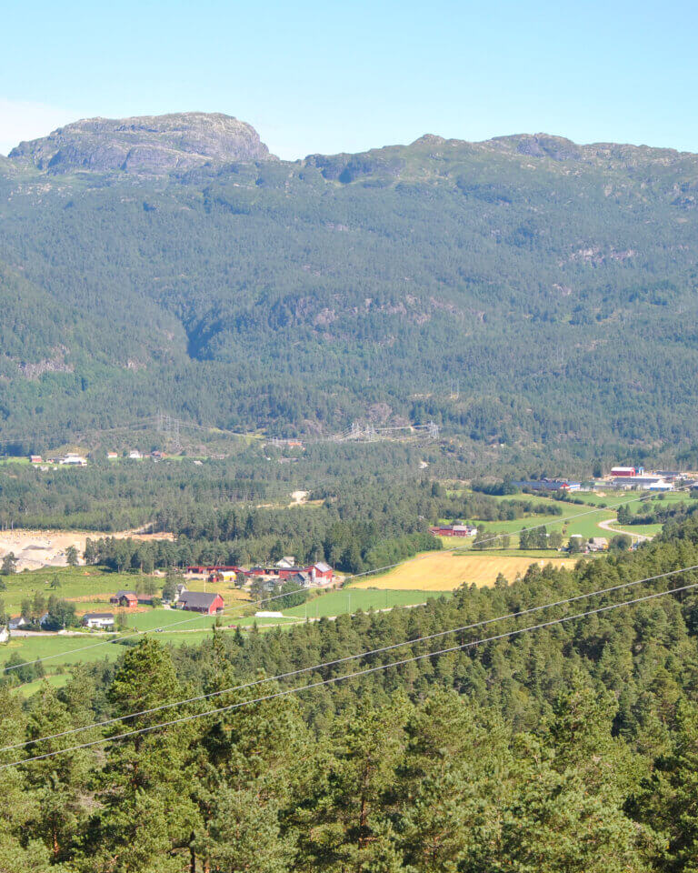
From Rundehaugen you can see most of Sauda and the fjord. At Rundehaugen there’s a bothy, benches, a guestbook and a map.
Follow the same path to return to Sauda or follow a forester path towards Rød.
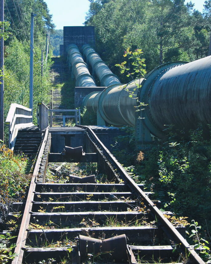
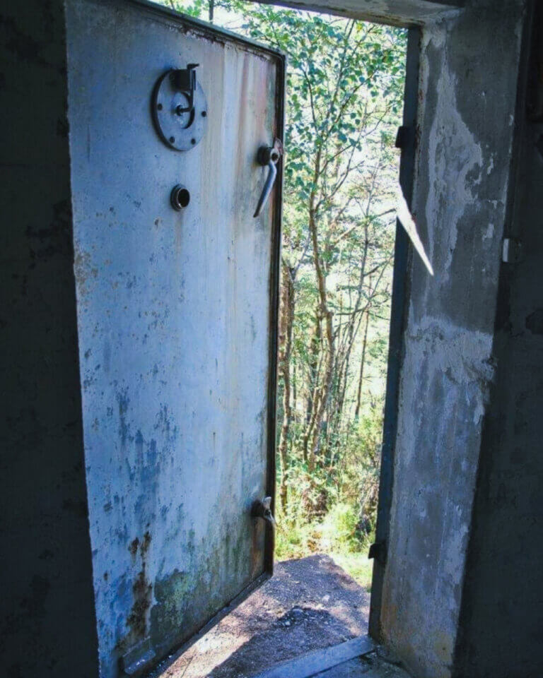
Bunkeren - The bunker
Head south from ‘Varden’ – Sauda’s hiking cairn and follow signs to Tangen, take the right hand gravel road at Tangen and follow the bridge to the right to signage for ‘Maldal’. Walk along the road till you hit upon the Røyrgata – pipe street (used to transport water for hydropower). The pipe street is well marked with yellow paint marks in the terrain. Be aware that the exposed rock can be slippery. At the ‘buen’ you can walk to Bunkeren. Follow a marked path before turning left towards Kjeldalsmoen and the road back to Sauda.
This walk is a steep ascent so bring water and have plenty of breaks.
Tempreidnuten (2395 ft above sea level)
Follow rhe same route as for ‘Bunkeren’, continue over buen (or just use the path if youære scared of heights). Follow a gravel road towards Tjelmen where there’s a parking lot. Here you find three different routes up to the cairn on Tempreidnuten. parkeringsplass. The hike offers varied terrain and a splendid view of Sauda on the top.
Did you know? ‘Nut’ and ‘nuten’ means ‘peak’ in Norwegian.
Walks around Saudasjøen
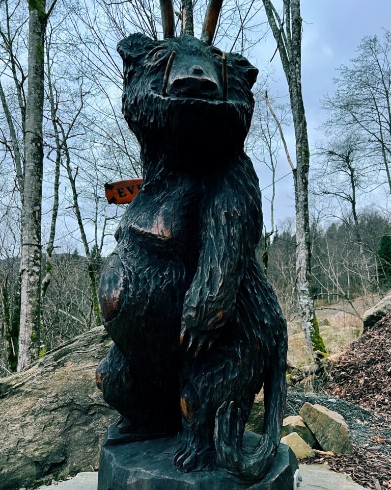
Eventyrskogen - The fairytale woods
Same starting point as a hike up to Hovlandsnuten – at Risvoll skule (school) in Saudasjøen. Walk past Risvolltunet and follow the road towards Fosstveit. Walk past the Fosstveit dam and follow the road aprox 100m before heading up a path to your left with a steep ascent towards the Fairytale woods.
In the Fairytale woods you’ll find gapahuk, barbeque pit, wooden sculptures representing mythical creatures from Norwegian folklore (and the gruffalo!) and gorgeous views towards the fjord.
You can continue your adventure on paths to Brekkestølsbråte and Hovlandsnuten.
Alternatively you can start from Nordstøldalen (Skeivane) and walk down to Eventyrskogen (much easier if you’re a young family and some of you have shirt, little legs).
Nordag-anlegget
Explore Sauda’s history during the second world war!
The walk starts and finishes at Sauda Fjord Hotel and you can can walk between the placards describing the second world war but there is no marked path.
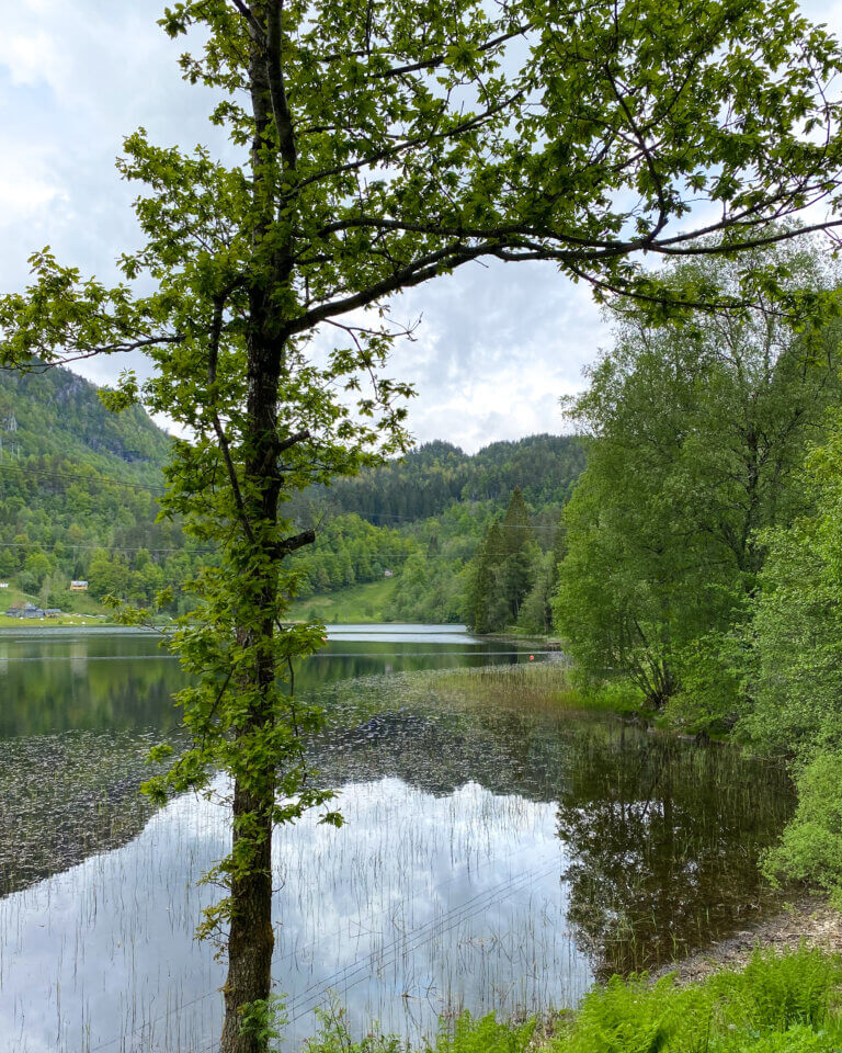
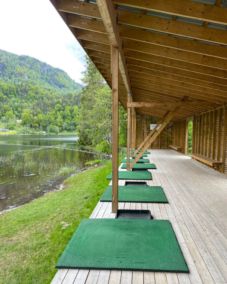
Rødstjødna
Drive towards Nordstøldalen and park at the golf course parking lot.
This is an easy and idyllic walk in a pastoral landscape on a good trail. Along the path you walk past the driving range and a wild swimming spot with a gapahuk.
Køyr mot Nordstøldalen og ta av til parkeringsplassen ved Sauda golfbane. Dette er ein lett tur i landlege omgivnader på god sti. Stien går i lett terreng forbi drivingrangen ved golfbanen og badeplass med gapahuk.
Did you know? Gapahuk is a Norwegian word for ‘sturdy shed’ (sort of, it doesn’t really translate), three walls and some sitting space. You’ll find gapahuks dotted around the Norwegian landscape, a respite from heat or rain for hikers.