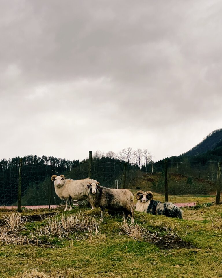
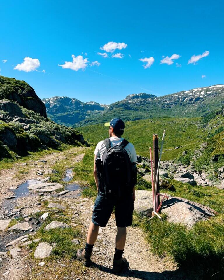
Sauda is great for hikers and there’s many daytrip options available. For more experienced hikers there’s always the option to extend the hike, spending the night camping before adventuring on deeper into the Norwegian wilderness.
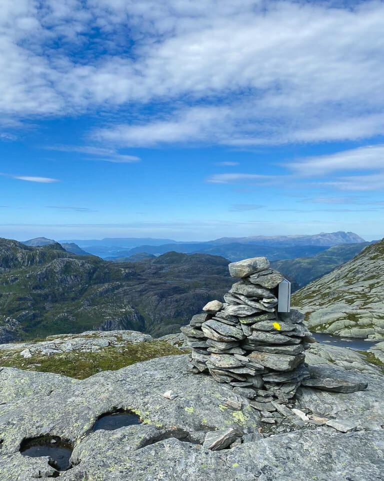
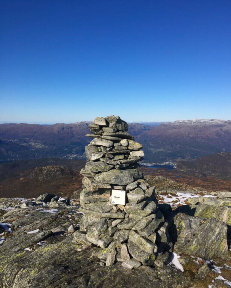
Varden, the hiking 'cairn' in Sauda town center
Between Folkets Hus and the swimming pool you find Varden – a cairn showcasing our most popular walks and paths.
Please be aware that in the winter months, because we are such a snow rich area, many of these hikes are unavailable because of snowcover and closed roads.
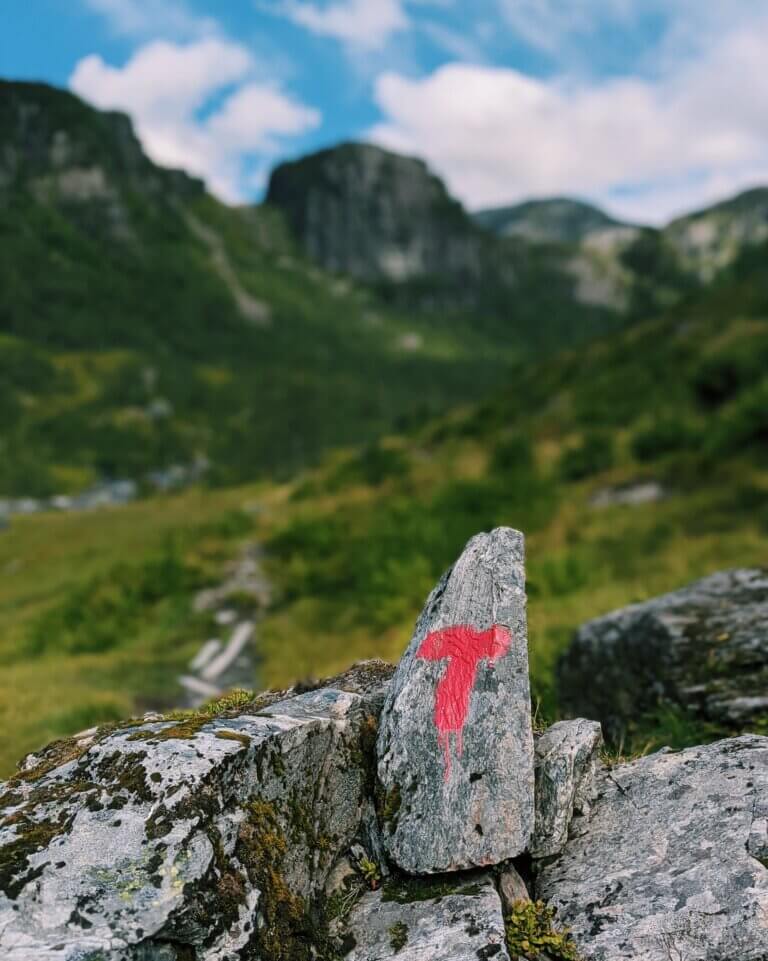
Advice on the local vernacular: Ravnafjell mountain is also know as Ramnafjell.
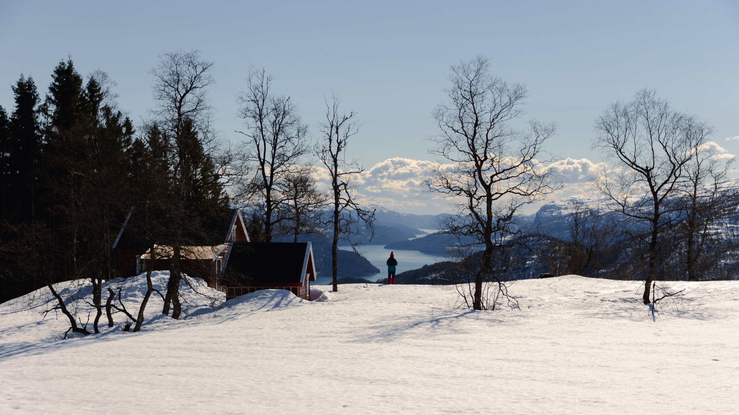
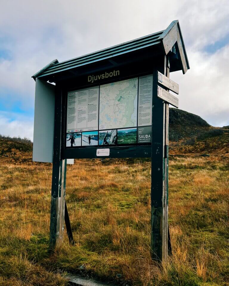
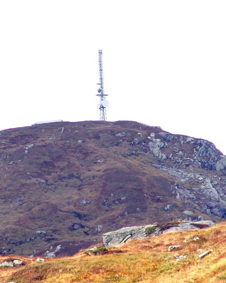
Starting point for both trails is at Sauda ski centre. When you reach Djuvsbotn, follow signs either towards Ravnafjell or Hustveitsåta. In the area there’s quiet fishing lakes, murmuring waterfalls and pristine nature before you reach the summit.
Alternatively you can start the hike to Hustveitsåta from Hustveit, this is a longer walk with a higher ascent.
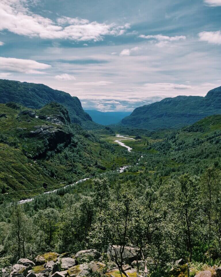
Nordstøldalen valley
Follow Old Norse paths to the mountain summits and enjoy a wide vista of Saudafjorden.
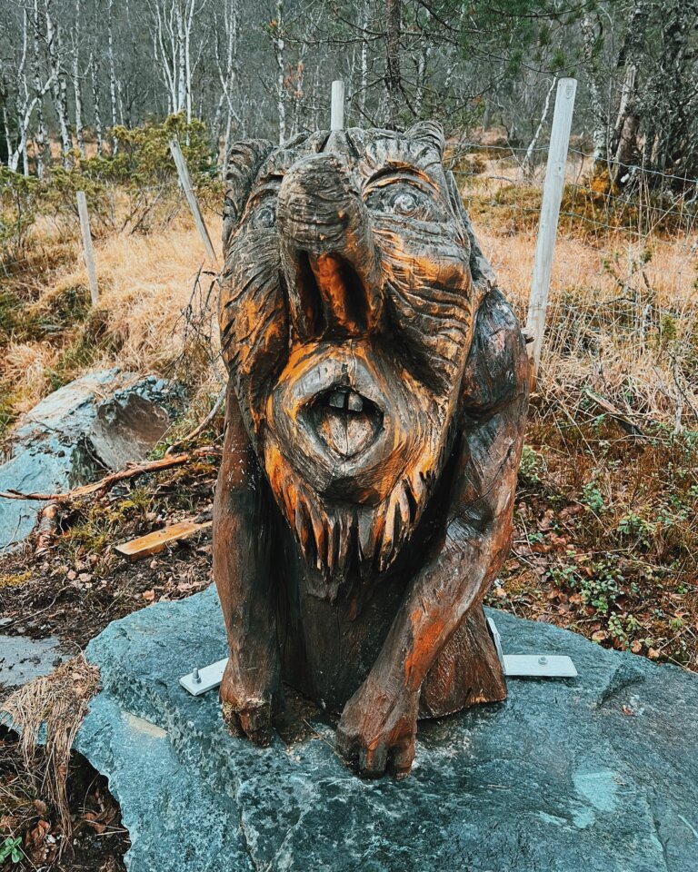
On the way to the Hovlandsnuten summit (3054 feet above sea level) you’ll find Eventyrskogen and Trollplassen, home to famous fairy tale creatures from Norwegian fairy tales. Just before Hovlandsnuten summit the path gives way to winding sherpa stairs leading you all the way to the summit.
Enjoy panoramic views on the summit from the summit hut.
If you choose to explore the other side of Nordstøldalen valley, towards Brekkestølsnuten summit (3425 feet above sea level), you’ll discover a frothing river, verdant meadows and smooth rock faces to sunbathe on before you reach the summit.
Start your hike from Risvoll skule school or Nordstøldalen valley for both hiking paths.
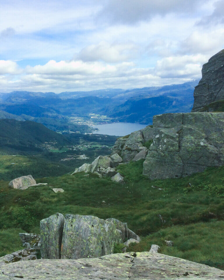
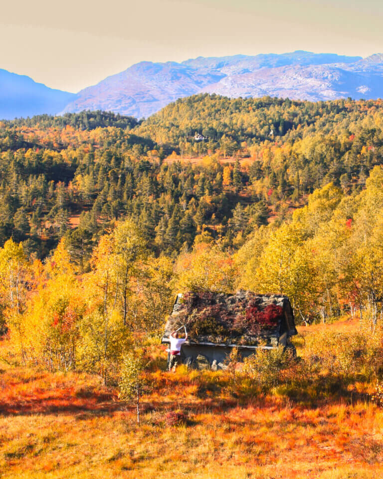
Maldal is home to thriving tradiitonal farms and is most known as a great starting point for hikers wanting to reach Reinsnuten mountain summit (3828 feet above sea level). At the top of this summit you can view ancient Folgefonna glacier and the fjords shaping all of Ryfylke.
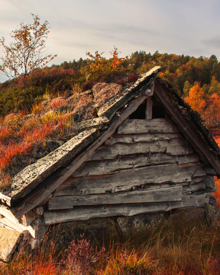
8 traditional hay barns have been preserved in Maldal. You can explore the hay barns on a hike that takes you to all the buildings. The area has a varied terrain with good lookout points. At each barn you’ll find a placard detailing the barn’s history.
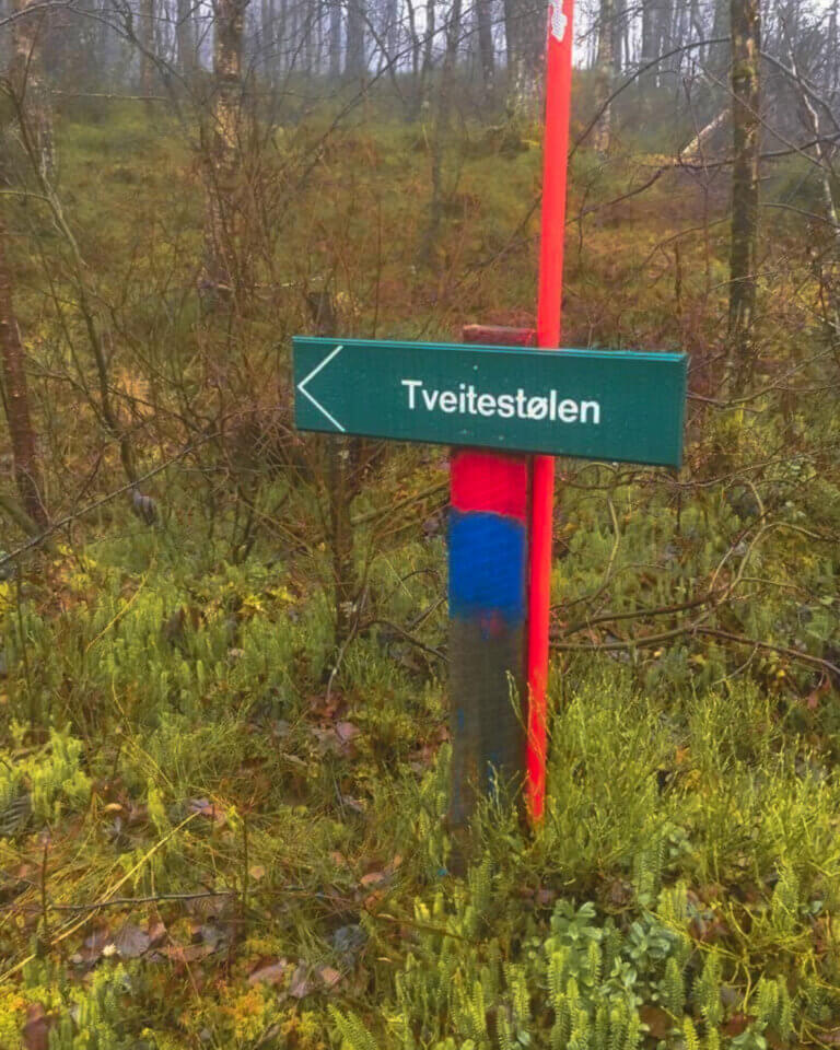
If you drive further out, towards Vetrhus, you’ll find well marked trails towards idyllic Vetrhusstølen and Tveitestølen– a støl is a farm building often used only in the summer months for shepherds and pasture animals.
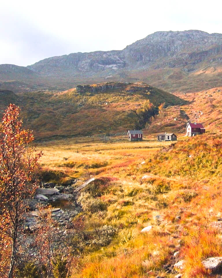
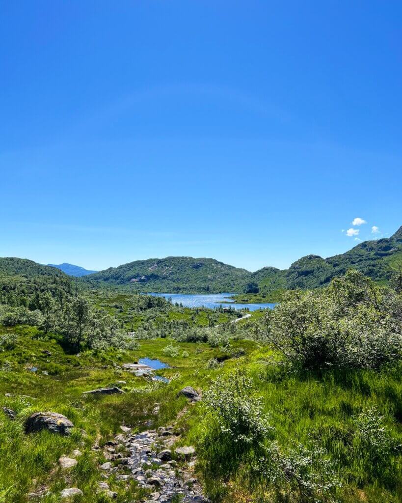
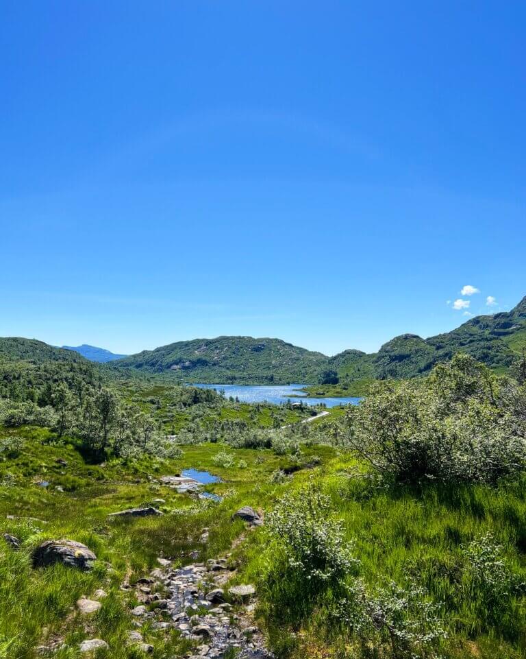
Slettedalen valley & Hellandsbygd hamlet
Slettedalen is a wide valley surrounded by amazing hiking terrain, gentle, lush valleys and beautiful rivers. er omringa av flott turterreng, fine grønkledde dalar og vakre elver. From the parking lot in Slettedalen you can hike to Nevroldsnuten summit. This hike is not a circular route, walk back the same way you arrived.
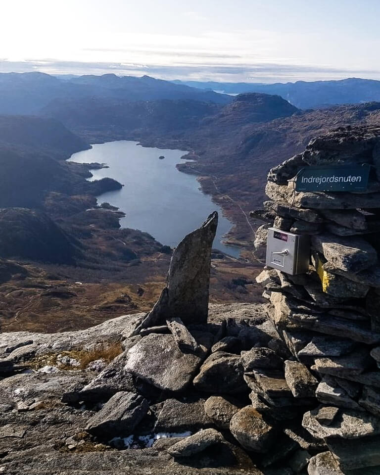
The hike to Indrejordsnuten summit starts in the other end of Slettedalen valley and it is a somewhat steep ascent to the summit at startar i enden av Slettedalen og ein går i noko bratt stigande fjellterreng til nuten som ligg på 4212 feet above sea level. At the summit you’re awarded breathtaking views of Slettedalen down below.
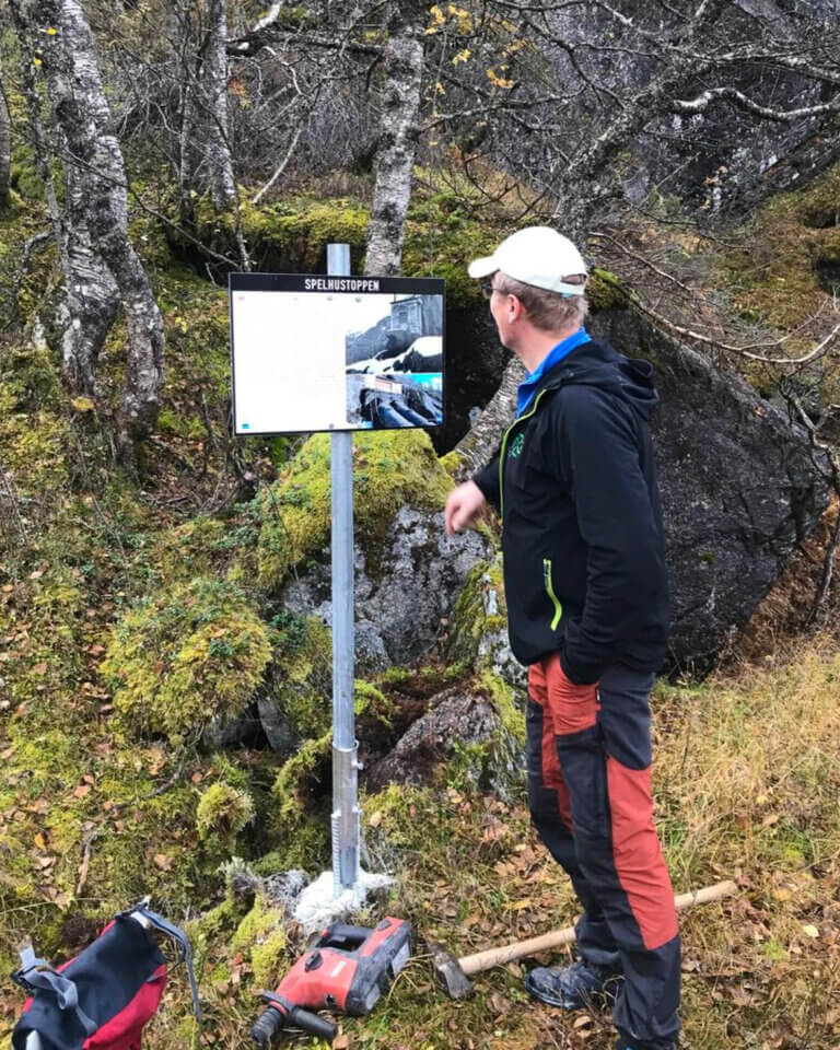
The hike to Spelhustoppen peak starts from the parking lot by the chapel in Hellandsbygd and follows an old hiking trail up to the peak. Along the path you’ll see placards detailing the history of hydroelectric industry in the area. From Spelhustoppen you can continue into the dam at Dalvatn where the marked path ends.
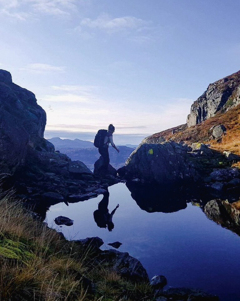
Herheimsdalen valley is 10 km from town and a hidden gem. From this valley you can hike to Liasetnuten summit (3169 feet above sea leavel) by following a path via Austarheimsdalen valley with picturesque mountain lakes and rivers towards Fjotene. The terrain becomes more alpine before you reach the summit with panorama views to the fjord below and the surrounding mountains. From Austarheimsdalen valley there’s a marked trail to Tråskår or Åbødalen valley or you can keep following the route over Brekkeheia to Rundehaugen.
Tips for local vernacular: Please be aware that the name Buernuten is often used for Liasetnuten. Confusingly, the name Buernuten is also used for marking the trail, but on the maps it is called Liasetnuten.
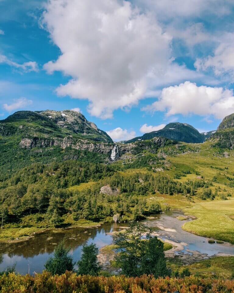
Åbødalen
Fun fact about Åbødalen: This valley is named the most beautiful valley in Sauda!
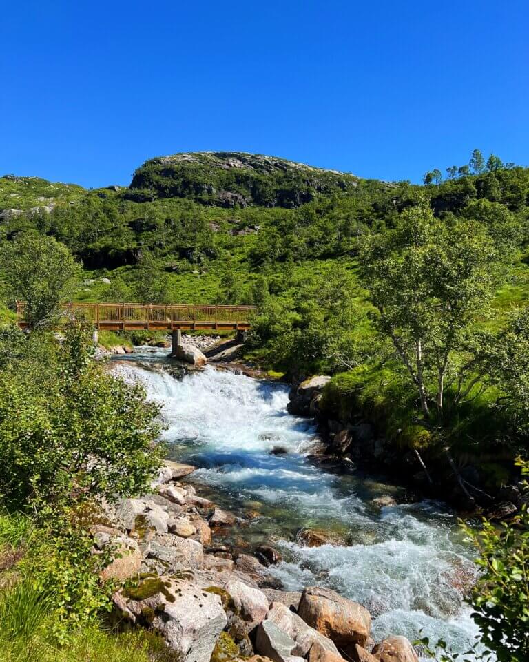
Åbødalen has the gentle Buer river snaking through the wide valley, with majestic Fossdallsfossen waterfall to your left and the fun fairy pools under a smaller waterfall to your right.
In summer you can drive all the way in to Buer, but in the winter the road up past Jeskedalen parking lot will be closed due to snowfall.
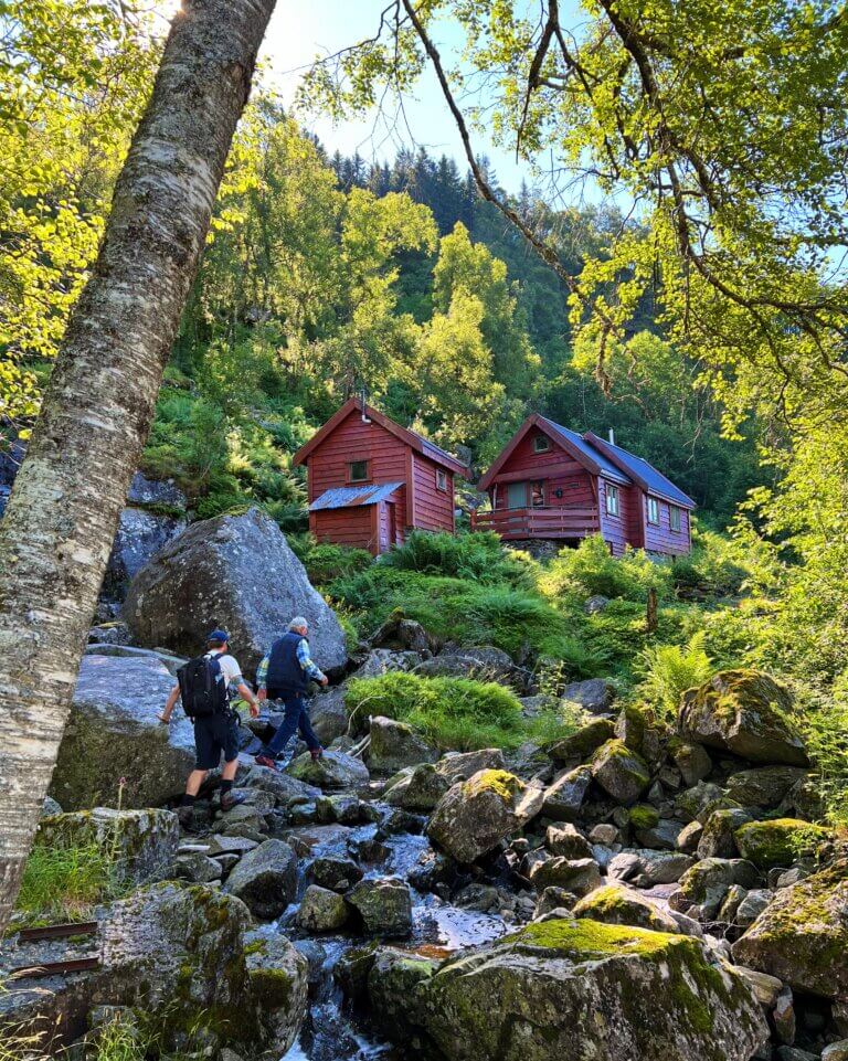
‘Around the marshes’ or ‘Myrane rundt is a short walk where you follow the Buer river from the wild swimming place at Storemyr lake, towards Storemyrstjødna (also called Klovsteinstjødna). When turning back you can walk on the road. Should you want to extend your stay in this gorgeous valley you can keep hiking past the fairypools in towards an area called ‘Vio’, over Nordheia and down Moringdalen back to Buer.
In Moringdalen you can also get up high by walking to Fjotene and towards Liasetnuten. Upon reaching the summit you will have amazing views of the Norwegian fjords. The starting point for hiking to Liasetnuten and Nordheia is Buer.